-
Gastein Valley
-
Experiences & Events
-
health & thermal spas
-
Service
-
My Gastein experience


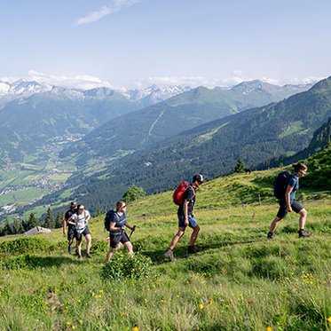
Long-distance hiking adventure
Every step takes you further
The Gastein Trail
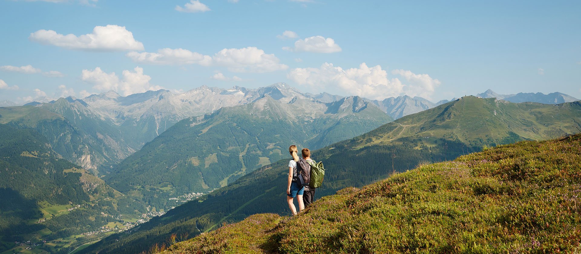
One valley, seven days, countless impressions: The Gastein Trail is a long-distance hike that reveals the full magnitude of the Gastein valley.
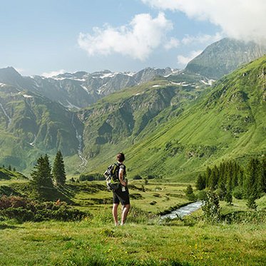
Spanning around 87 kilometres and over 4,500 metres of elevation gain, it leads through historic spa towns, over gentle meadows and across alpine pastures, all framed by breathtaking views of the High Tauern’s three-thousand-metre peaks. Each day offers something new. Whether you prefer an athletic challenge or a mindful escape in nature: Hiking the Gastein Trail means taking home not only lasting memories but also a sense of calm and accomplishment.
Key information at a glance
- Length: 87 km
- Stages: 7 daily stages
- Elevation gain: 4,587
- Starting and finishing point: Dorfgastein/BadHofgastein
- Difficulty: moderate (good fitness and sure-footedness required)
- Best time of the year: mid-June to mid-September
- Accommodation: mountain lodges along the route
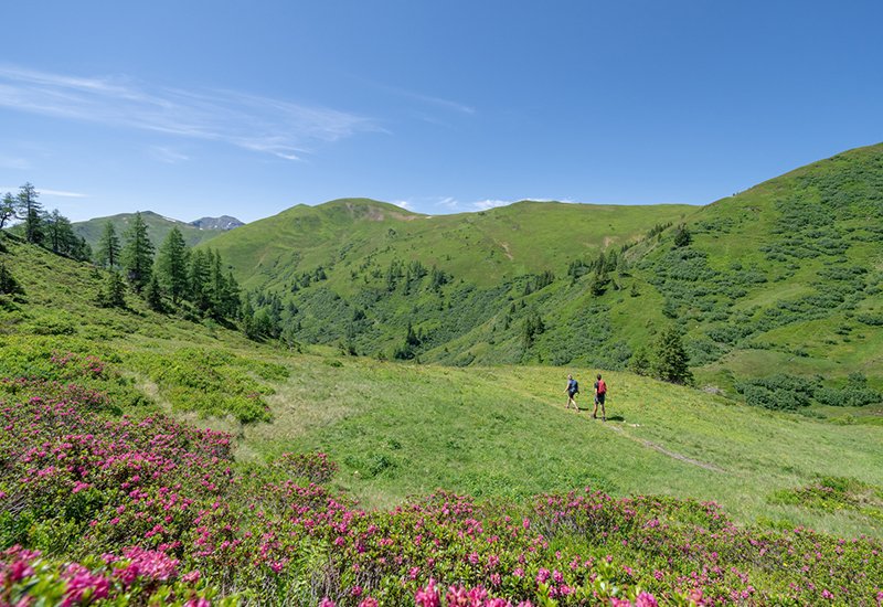
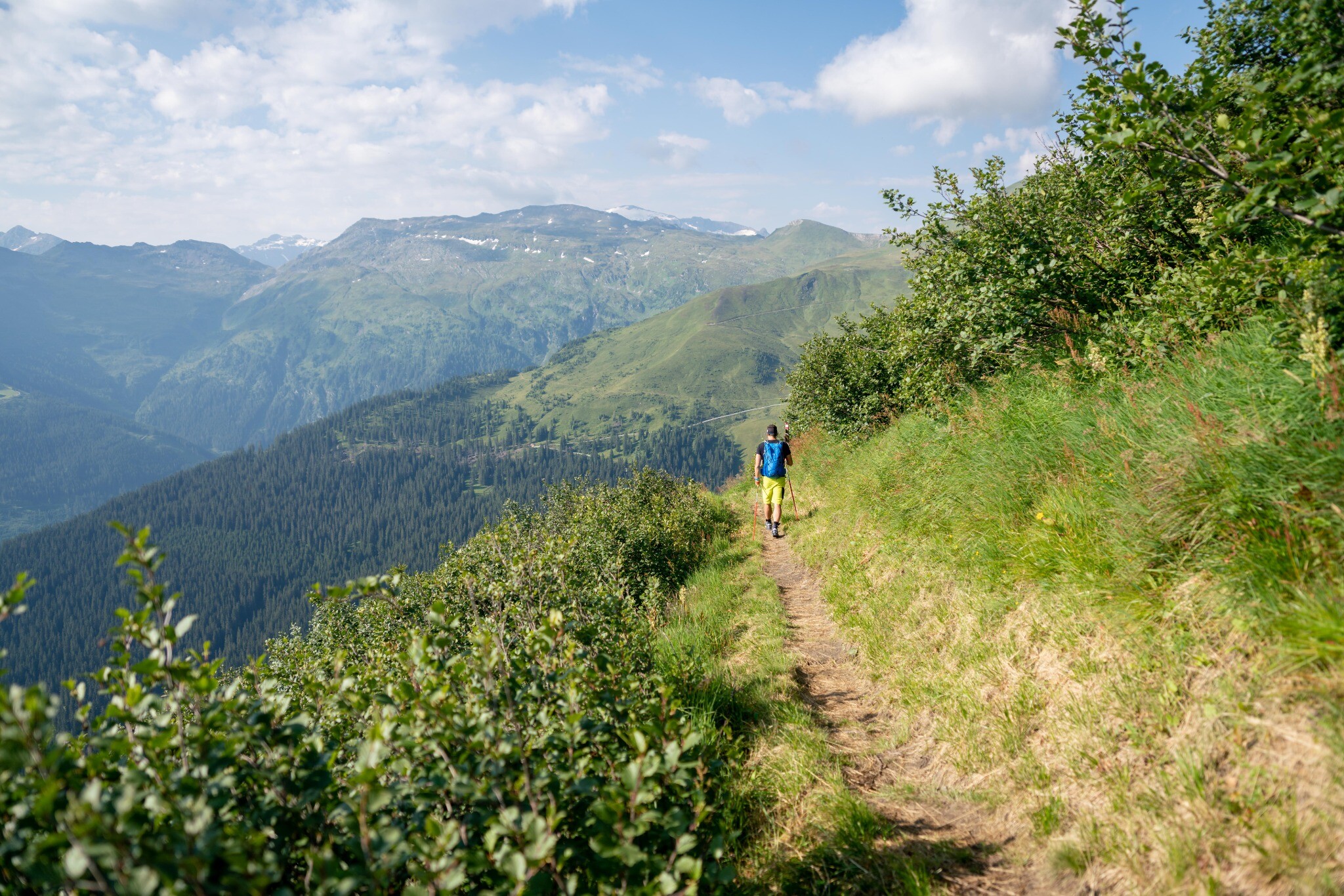
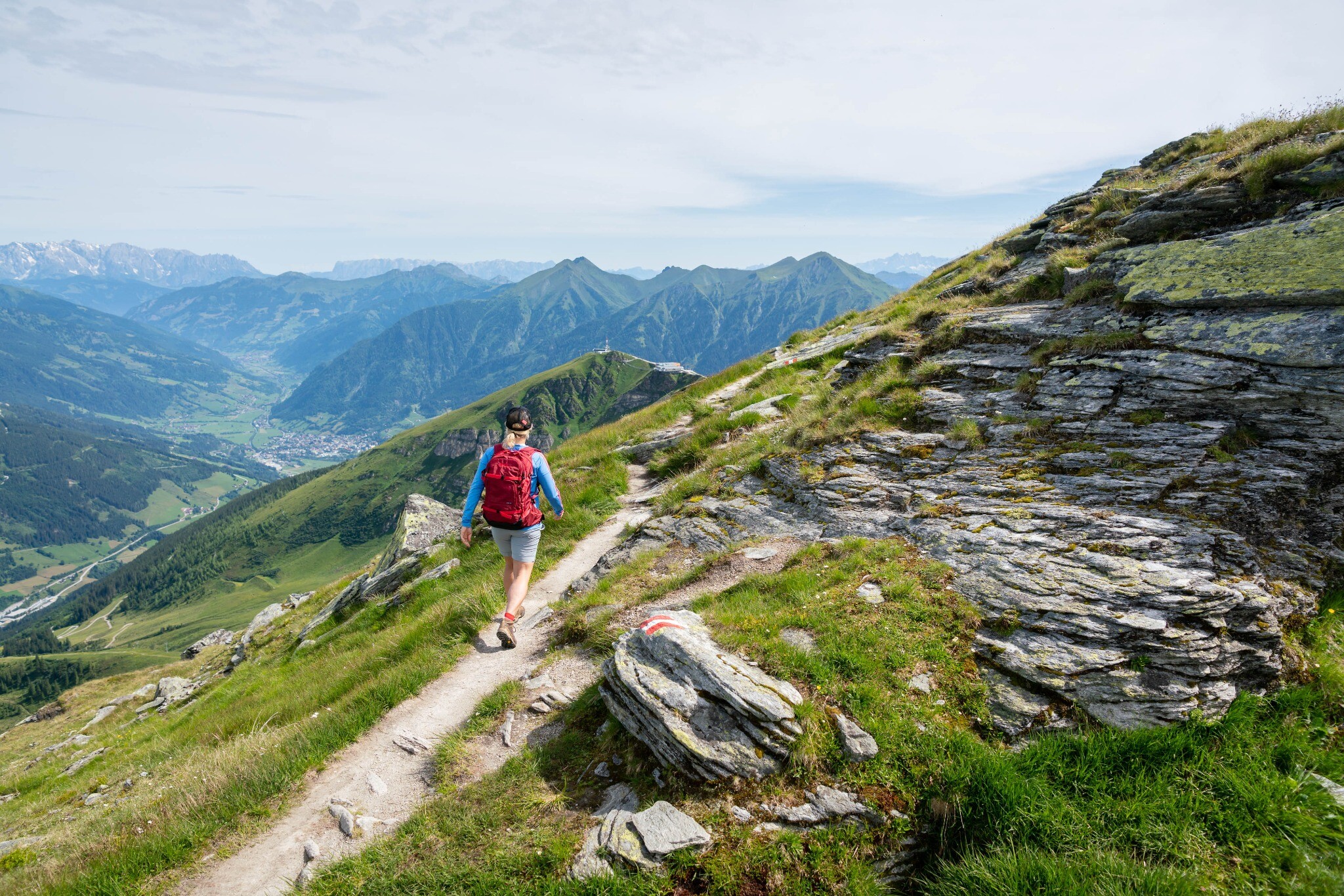
Seven diverse stages
On the Gastein Trail, bustling spa towns alternate with peaceful mountain landscapes, and gentle alpine meadows give way to towering peaks. What makes this long-distance hiking trail truly special is its incredible variety within a relatively compact area. Each stage has its own distinct charm:
Tip: Detailed information on each stage – including maps, elevation profiles and refreshment stops – can be found in the Gastein Trail brochure.
Stage 1
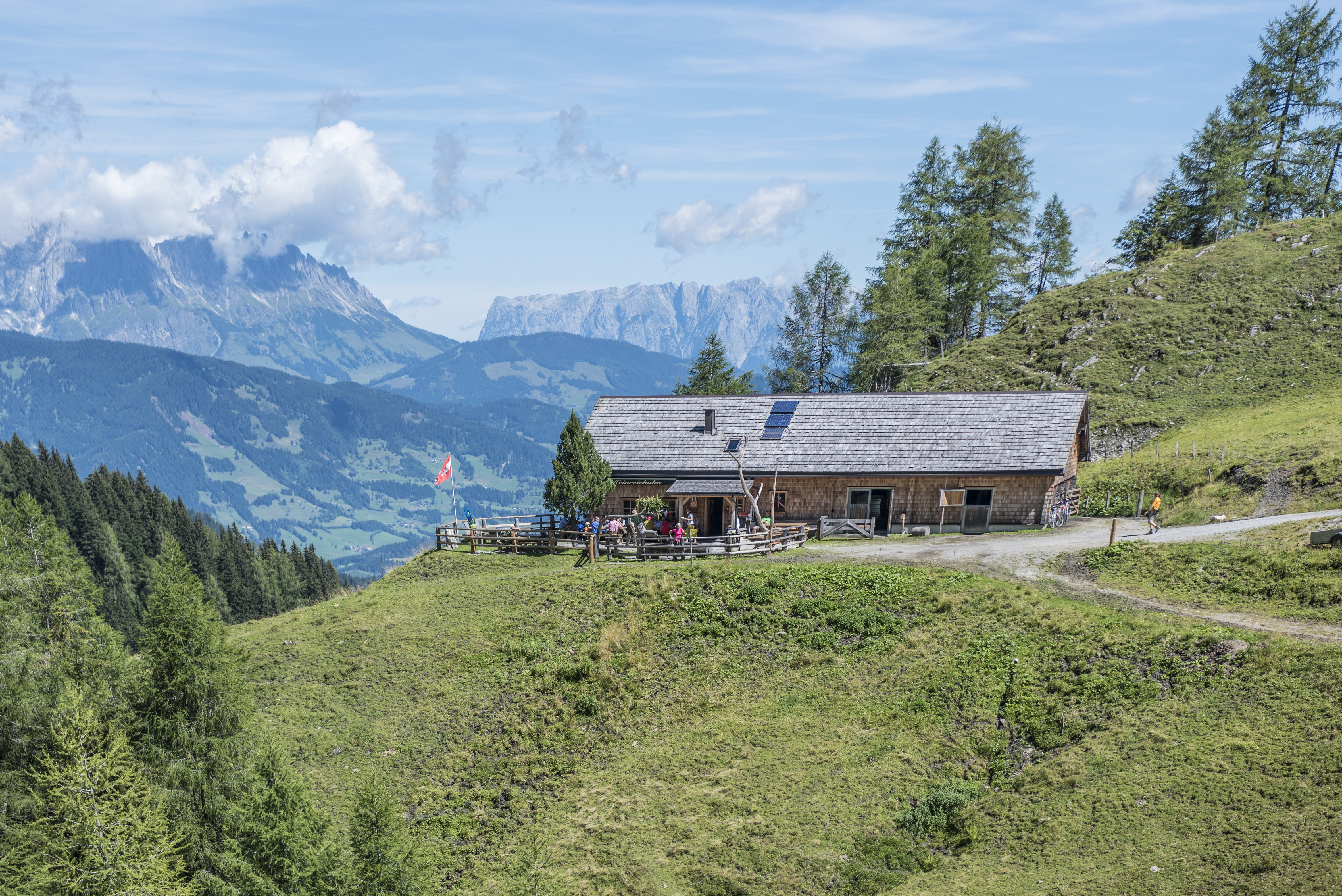
From Dorfgastein via Amoseralm, Stoffalm and Huberalm to the Drei-Waller-Kapelle chapel, continuing to Heinreichalm – the first overnight stop on the trail.
Stage 2
From Heinreichalm along scenic trails past the Heinreich-Kapelle chapel and Kokaseralm to Präau-Hochalm. The route then climbs through alpine pastures to the Hohe Scharte and Wetterkreuz summits before reaching Biberalm, offering impressive Tauern views.
Stage 3
With the three-thousand-metre peaks in sight, the trail leads via Kerscherhütte and Hytonga-Steig to Fundner Heimalm. Follow the Leidalmbach stream to Brandner Hochalm, then continue via Leidalm and Kleine Scharte to the Schlossalm mountain station – the day’s destination.
Stage 4
The halfway point of the Gastein Trail! Descend via Hofgasteinerhaus, Weitmoser Schlossalm, and Kaserebengüterweg to the ski centre in Angertal.
Stage 5
From the historic Angertal via Stubneralm to the Stubnerkogel summit, continuing across Zitterauer Scharte and Otto-Reichert-Weg to Miesbichlscharte. Descend past the Unterer Bockhartsee lake to the valley floor of Sportgastein and the welcoming Valeriehaus.
Stage 6
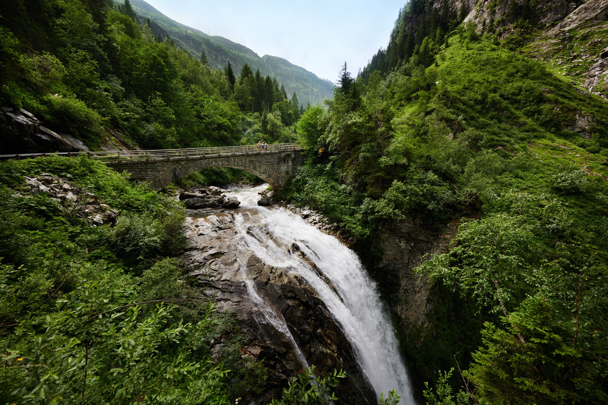
After a scenic loop through the valley floor, follow an ancient freight hauling track through the Nassfelder Ache valley, past waterfalls to the Astenalmen. Continue to Altböckstein with its mining museum and the Czernin hunting lodge, then along the easy Empress Elisabeth Promenade to Bad Gastein.
Stage 7
The grand finale of the Gastein Trail! From the valley station of the Stubnerkogelbahn cable car, hike through Bad Gastein past the waterfall, along the Kaiser Wilhelm Promenade, and over the Martin Lodinger High Trail to the Gastein High Trail. The route leads along the natural wonder of the Gadaunerer Schlucht gorge to the upper edge of Bad Hofgastein and into the lively pedestrian zone.
Difficulty
X
Difficulty
Route Length
X
Route Length
9 Results found
list view | map view
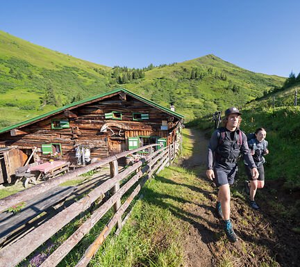
Tasteful dining
Huts and restaurants along the Gastein Trail
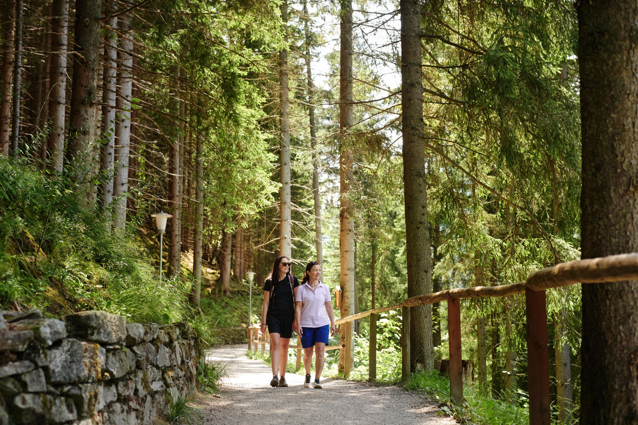
What would the Gastein Trail be without its many alpine huts? Certainly only half as enjoyable! High above the valley, these huts offer not only delicious refreshments but also a genuine glimpse into alpine tradition. For long-distance hikers, they’re doubly valuable – a welcoming stop for homemade culinary delights by day and cosy accommodation with rustic charm by night.
Many huts lie directly along the trail and provide authentic overnight stays. The scent of fresh timber, the crackle of a wood stove and the quiet atmosphere create a deep sense of connection with the mountains. And as you watch the sunset from a hut terrace, you’ll feel how perfectly nature and enjoyment come together on the Gastein Trail.
Easy access to hiking adventures
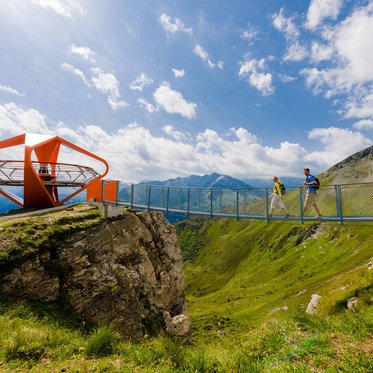
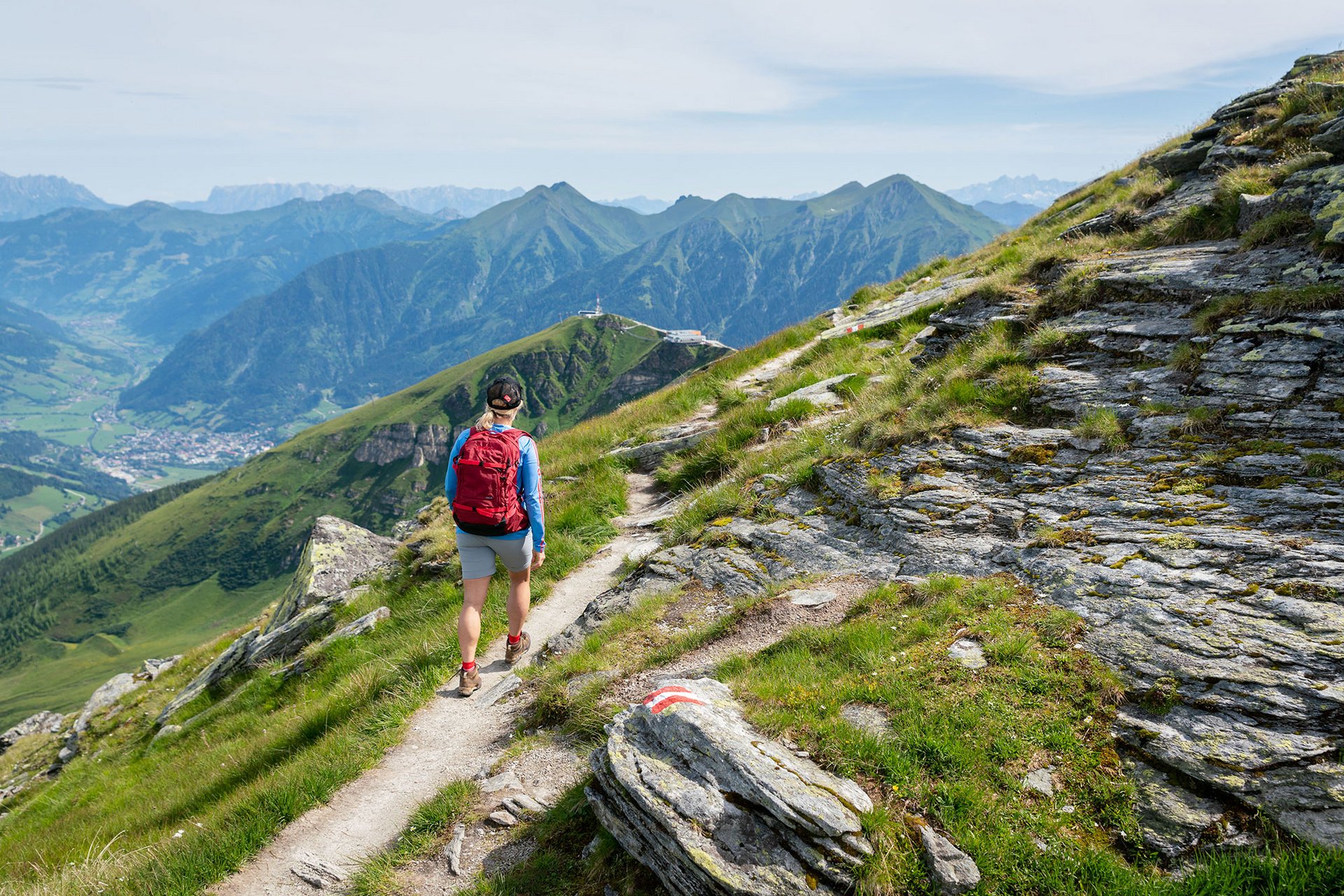
One of the great advantages of the Gastein Trail is its excellent accessibility. Within the valley, a well-connected network of regional buses links all the towns. And with the Guest Mobility Ticket, you can travel free of charge! Plus, the mountain cableways make it easy to reach higher starting points: They quickly whisk you up to the summits, where breathtaking scenic views await — views that would otherwise require hours of climbing. This seamless combination of public transport and cable cars also makes the Gastein Trail perfect for exploring individual stages at your own pace

Good preparation, great experience
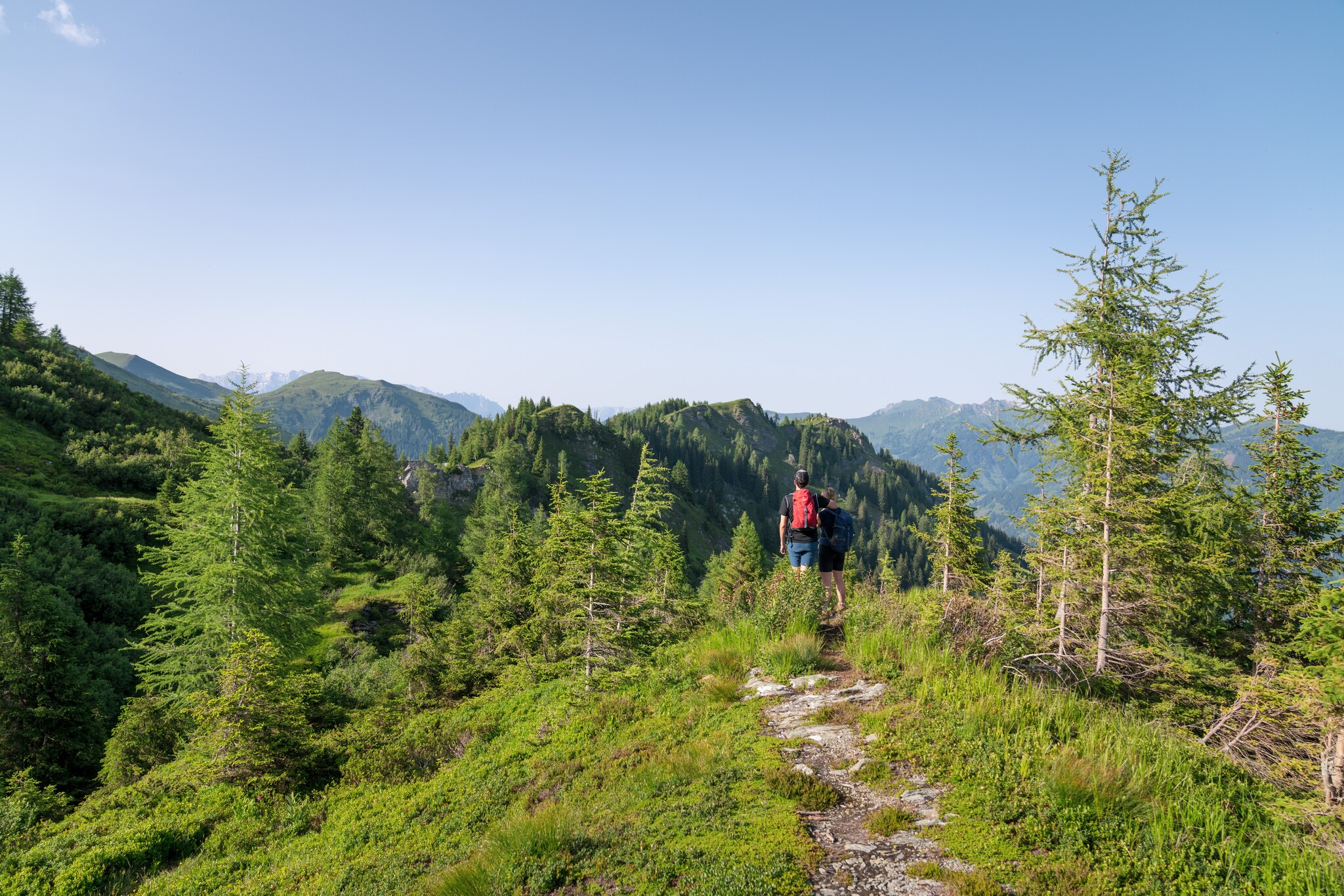
As idyllic as the Gastein Trail may be, parts of it lead through alpine terrain that deserves respect. Sure-footedness and a good level of physical fitness are essential for this long-distance hike.
Weather conditions in the mountains can also change quickly, so it’s important to set out early and check the weather forecast regularly – both before and during your hike. The interactive hiking trail map, is a valuable planning tool, showing elevation profiles, walking times and recommended refreshment stops. You can also download each stage’s GPS data directly to your smartphone for added safety.
Tip: The Trail Angels Booking and Information Centre offers expert support for organising your entire Gastein Trail adventure. As the official booking partner, they provide personalised advice and convenient online booking options – from luggage transport and shuttle services to handling special requests. Their experienced team even offers a trail hotline, ensuring you always have professional assistance and peace of mind along the way.
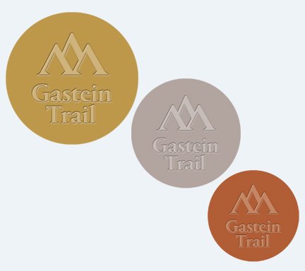
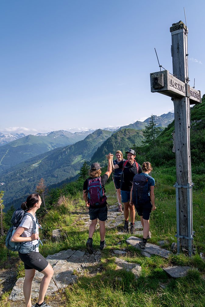
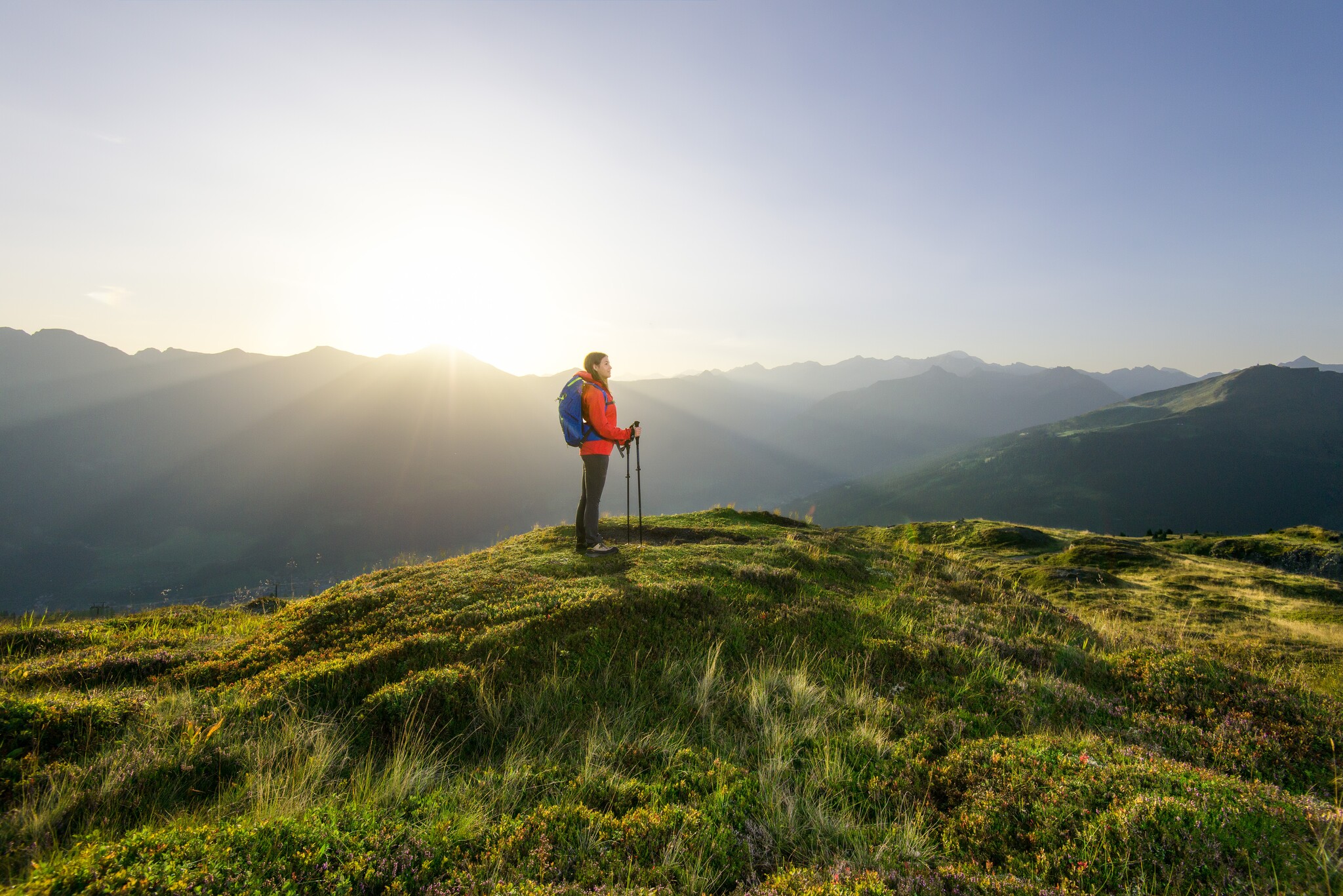
An extra boost of motivation
The hiking pin adds an extra boost of motivation for everyone tackling the Gastein Trail. Using the free SummitLynx app, you can record your stages and collect digital hiking pins along the way. Bronze, silver or gold – each pin is both a symbol of your achievement and a lasting souvenir of your Gastein Trail adventure.
Relaxation after the Gastein Trail
Long-distance hiking is a rewarding experience for both body and mind, but it can also be demanding. That’s why, after completing the final stage of the Gastein Trail, you deserve some well-earned relaxation at one of the region's thermal spas. The soothing warmth of the water eases tired muscles and provides the perfect conclusion to a week filled with memorable mountain moments. Both at the Alpentherme and Felsentherme spa, you can enjoy healing thermal waters, fresh alpine air and breathtaking views. A revitalising blend that restores energy and leaves every long-distance hiker feeling refreshed and renewed.

You might also be interested in